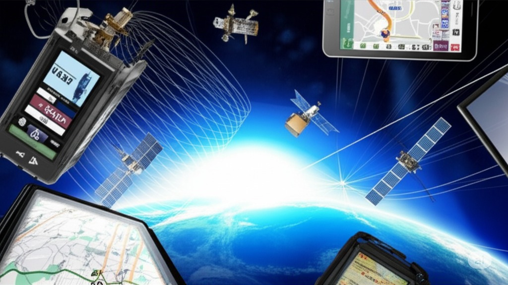
How GPS Tracking Works
GPS tracking works through a sophisticated system of satellites and receivers, utilizing advanced technology to provide accurate location data. Here's an overview of how GPS tracking functions:
Satellite Constellation
The Global Positioning System consists of a network of satellites orbiting the Earth at an altitude of approximately 20,200 km (12,550 miles). This constellation includes:
- At least 24 operational satellites (though typically more are active)
- Satellites arranged in six equally-spaced orbital planes
- Each satellite completing two full orbits every day
Signal Transmission and Reception
- GPS satellites continuously broadcast radio signals containing information about their position and the time the signal was sent.
- GPS receivers on Earth pick up these signals from multiple satellites (at least four) simultaneously.
- The receiver calculates its distance from each satellite based on the time difference between signal transmission and reception.
Position Calculation
Using the data from multiple satellites, the GPS receiver employs triangulation to determine its precise location:
- Latitude
- Longitude
- Altitude
- Time
The accuracy of consumer GPS devices is typically around 7.0 meters, 95% of the time.
Data Transmission and Mapping
Once a GPS tracking device calculates its position, it can:
- Transmit this data to a central server or monitoring system
- Display the location on mapping software
- Provide additional information like speed and direction
Advanced Features
Modern GPS tracking systems often include:
- Geofencing: Setting virtual boundaries to trigger alerts
- Real-time tracking: Continuous monitoring of device location
- Historical data analysis: Reviewing past movements and patterns
Factors Affecting Performance
Several elements can impact GPS tracking accuracy:
- Signal interference
- Atmospheric conditions
- Physical obstructions (e.g., buildings, mountains)
Ongoing Improvements
The GPS system is continuously evolving, with advancements including:
- Launch of newer, more accurate satellites
- Development of additional civil signals (e.g., L2C and L5)
- Enhanced capabilities for high Earth orbit and cislunar space operations
By leveraging this complex network of satellites and ground-based technology, GPS tracking provides invaluable positioning, navigation, and timing services for a wide range of applications, from personal navigation to critical military operations.